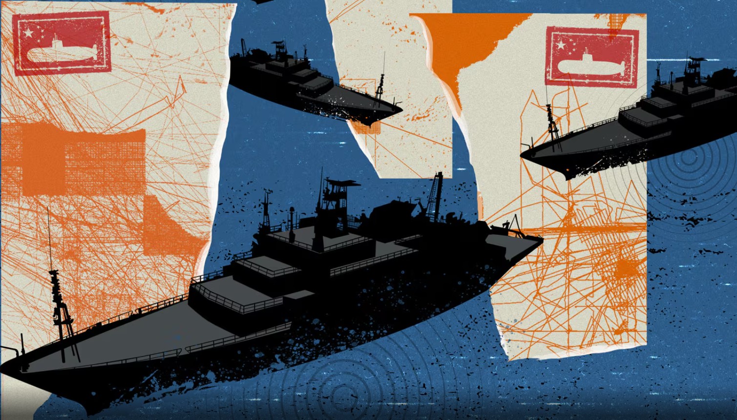
Σε μια εκτεταμένη επιχείρηση χαρτογράφησης και παρακολούθησης των ωκεανών προχωρά η Κίνα, συλλέγοντας κρίσιμα δεδομένα που –σύμφωνα με ναυτικούς αναλυτές– θα μπορούσαν να αξιοποιηθούν σε ενδεχόμενη υποβρύχια αντιπαράθεση με τις Ηνωμένες Πολιτείες και τους συμμάχους τους.
Όπως μεταδίδει το Reuters, δεκάδες κινεζικά ερευνητικά πλοία δραστηριοποιούνται στον Ειρηνικό, τον Ινδικό και τον Αρκτικό Ωκεανό, χαρτογραφώντας τον θαλάσσιο πυθμένα και καταγράφοντας δεδομένα για τη θερμοκρασία, την αλατότητα και τα θαλάσσια ρεύματα.
Ένα χαρακτηριστικό παράδειγμα αποτελεί το ερευνητικό σκάφος Dong Fang Hong 3, το οποίο κινήθηκε τα έτη 2024 και 2025 σε περιοχές στρατηγικής σημασίας, όπως γύρω από την Ταϊβάν, το Γκουάμ και κρίσιμα περάσματα του Ινδικού Ωκεανού, σύμφωνα με στοιχεία παρακολούθησης πλοίων που ανέλυσε το Reuters.
Παρότι μέρος των ερευνών σχετίζεται με επιστημονικούς σκοπούς, όπως η μελέτη του κλίματος, των αλιευτικών ζωνών και των ορυκτών πόρων, ειδικοί επισημαίνουν ότι τα ίδια δεδομένα έχουν και σαφή στρατιωτική αξία. Συγκεκριμένα, προσφέρουν λεπτομερή εικόνα του υποθαλάσσιου περιβάλλοντος, απαραίτητη για την ανάπτυξη και τον εντοπισμό υποβρυχίων.
Σύμφωνα με το Reuters, η έρευνα βασίστηκε σε ανάλυση άνω των πέντε ετών κινήσεων 42 ερευνητικών πλοίων, καθώς και σε επιστημονικές δημοσιεύσεις και επίσημα κινεζικά αρχεία. Τουλάχιστον οκτώ από τα πλοία έχουν πραγματοποιήσει χαρτογράφηση βυθού, ενώ άλλα φέρουν εξοπλισμό σχετικό με τέτοιες αποστολές.
Αναλυτές τονίζουν ότι η έκταση των δραστηριοτήτων υπερβαίνει κατά πολύ την καθαρά επιστημονική έρευνα. Όπως σημειώνουν, η Κίνα φαίνεται να επιδιώκει την ανάπτυξη ισχυρής ναυτικής παρουσίας ανοικτής θαλάσσης, με έμφαση στις επιχειρήσεις υποβρυχίων.
Ιδιαίτερη σημασία αποδίδεται και στο δόγμα της «πολιτικο-στρατιωτικής σύντηξης» (civil-military fusion), που προωθεί το Πεκίνο, ενσωματώνοντας επιστημονική έρευνα με στρατιωτική τεχνολογία.
Παράλληλα, οι κινεζικές αρχές έχουν αναπτύξει δίκτυα αισθητήρων στον βυθό –το λεγόμενο πρόγραμμα «διαφανούς ωκεανού»– που συλλέγουν δεδομένα σε πραγματικό χρόνο ή με μικρή καθυστέρηση, ενισχύοντας τη δυνατότητα εντοπισμού υποβρυχίων σε κρίσιμες θαλάσσιες οδούς.
Οι περιοχές που βρίσκονται στο επίκεντρο των ερευνών περιλαμβάνουν τα ύδατα γύρω από τις Φιλιππίνες, την Ιαπωνία, το Γκουάμ και τη Χαβάη, καθώς και κομβικά περάσματα όπως τα Στενά της Μαλάκα, μέσω των οποίων διέρχεται μεγάλο μέρος του παγκόσμιου εμπορίου.
Αμερικανοί αξιωματούχοι εκφράζουν ανησυχία για την εξέλιξη αυτή. Όπως δήλωσε σε επιτροπή του Κογκρέσου ο επικεφαλής της Υπηρεσίας Ναυτικών Πληροφοριών των ΗΠΑ, τα δεδομένα αυτά επιτρέπουν καλύτερη πλοήγηση, απόκρυψη και τοποθέτηση αισθητήρων ή ακόμα και όπλων στον βυθό.
Σύμφωνα με ειδικούς, η συστηματική χαρτογράφηση των ωκεανών από την Κίνα ενδέχεται να μειώσει το μέχρι πρότινος πλεονέκτημα των ΗΠΑ στην κατανόηση του θαλάσσιου «πεδίου μάχης».
Όπως καταλήγει το Reuters, η εξέλιξη αυτή αντανακλά τη φιλοδοξία του Πεκίνου να αναδειχθεί σε κορυφαία ναυτική δύναμη με αυξημένες επιχειρησιακές δυνατότητες σε παγκόσμιο επίπεδο.
Reuters: China Mapping Oceans for Potential Underwater War with US
China is undertaking an extensive ocean mapping and monitoring operation, collecting data that could be used in a potential underwater confrontation with the United States and its allies. Dozens of Chinese research vessels are operating in the Pacific, Indian, and Arctic Oceans, mapping the seabed and recording data on temperature, salinity, and ocean currents. A prime example is the research vessel Dong Fang Hong 3, which moved in areas of strategic importance, such as around Taiwan, Guam, and critical passages of the Indian Ocean. While part of the research is related to scientific purposes, experts point out that the data also has military value, providing a detailed picture of the underwater environment. The research was based on an analysis of over five years of movements of 42 research vessels, as well as scientific publications and official Chinese records. Analysts emphasize that the extent of the activities exceeds purely scientific research, as China seeks to develop a strong naval presence in open seas, with an emphasis on submarine operations. China has also deployed networks of sensors on the seabed – the so-called “transparent ocean” program – that collect data in real-time, enhancing the ability to detect submarines. The areas at the center of the research include the waters around the Philippines, Japan, Guam, and Hawaii, as well as the Strait of Malacca. US officials express concern, as this data allows for better navigation and weapon placement on the seabed.